Started day: mile marker 1064
Ended day: mile marker 1100
Wednesday, we woke and left the anchorage at 8:30 to make an 8:45 bridge opening of Las Olas. Once through the bridge we stopped for fuel, filling all the jerrycans, dinghy tank, generator, and main tank. While Stew worked on this, I went into facility to use WIFI to update the iPad Aqua maps.
We did a little WIFI in Fort Lauderdale, but needed a full day to get things downloaded, blog updated, photos backed up and all the aqua maps downloaded. That’s probably the most difficult part of being at anchor so long – no WIFI. We did purchase a device called “The Bad Elf” which provides a gps signal for up to 4 devices. So, we can shut off cellular while we travel and still get gps and the Aqua maps are on our devices. Hopefully we can make better use of our cellular data.
We do have unlimited data, but they are throttling us at 35GB. We were throttled until yesterday when I negotiated a change in the billing structure and bumped us to 50GB unlimited. So, for now we are “unthrottled” but we have been careless with our cellular data usage and need to be more careful so we can use our weather apps etc for the rest of the billing cycle (thru Jan 3rd). Another resource that we need to manage.
After filling the fuel we made it through our last low bridge of the day: 17th st bridge. Because we draw 6’ and have a mast around 56’ our boat could not stay in the ICW from Fort Lauderdale to Miami (due to a 55’ bridge in Miami) and then Biscayne Bay to the Keys (due to shallow water). So we needed to do ocean jumps.


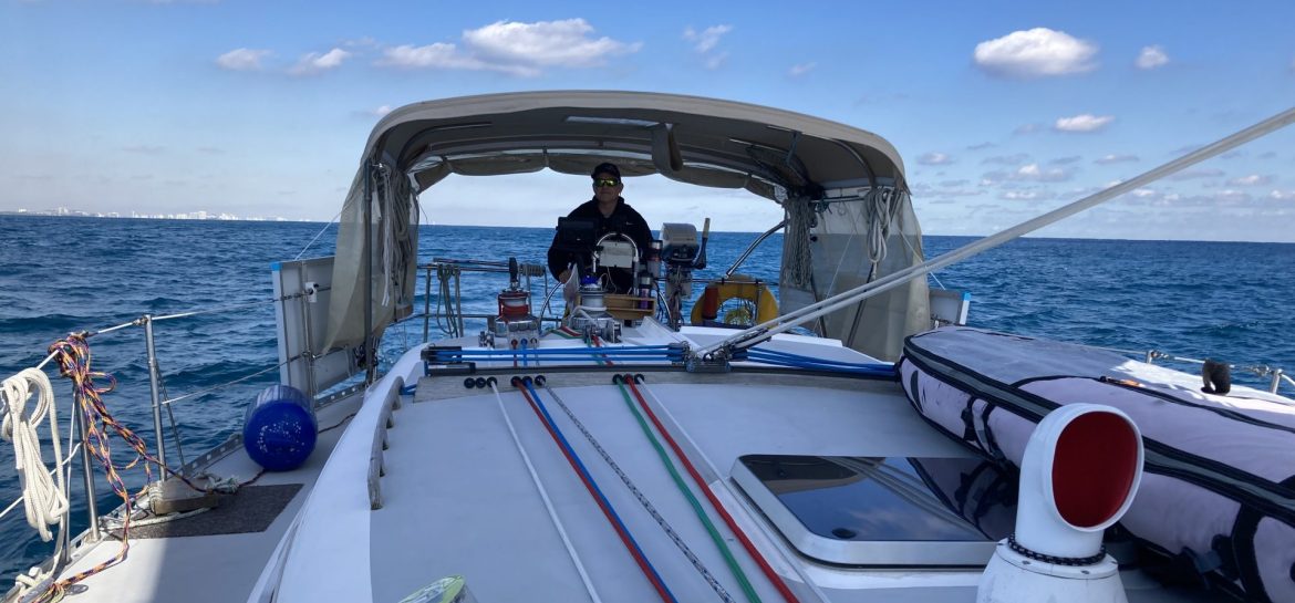
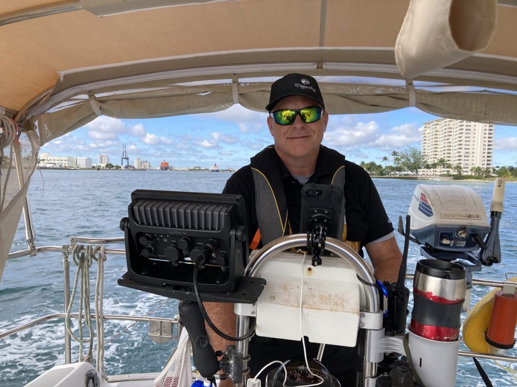
We raised both sails and exited to the Atlantic Ocean through Port Everglades inlet. We sailed and motor-sailed all day in Hawk’s channel. This is a marked channel in the Atlantic Ocean that runs along the shore from Fort Lauderdale to Key West. It is very helpful for small craft as it marks the area with the deeper water and avoids the shallows and reefs along the way. We entered Biscayne Bay through Government Cut Inlet, putting down the sails in less-than-ideal chop. We traversed the channel passing close to Miami (wow, a lot of boat traffic and barges) and then into Biscayne Bay, which was super shallow, and we really had to be careful. It reminded me of Lake Erie because of the chop!


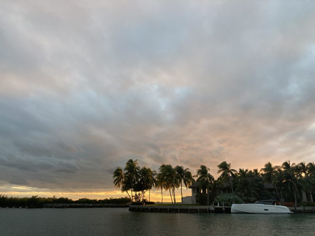
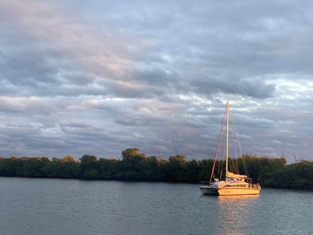
We crossed the Bay and decided to anchor in a small (SMALL) South Basin. It was a neighborhood that surrounded the basin – about 3 boats could fit in the anchorage. This is just south of “Hurricane Hole” anchorage and north of “No Name Harbor”. No Name Harbor looked like it was full of boats – there is a State Park there with hiking trails but it costs just to anchor in the harbor. We opted for South Basin which was so calm and quiet. We were so happy to be here. Once the sun went down we were in bed by 8pm.